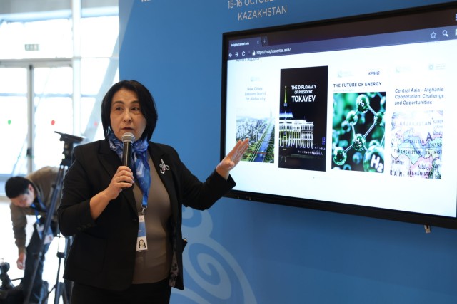
Around 60 rare historical maps, many of them previously unpublished, have gone on display at the Presidential Center in Astana. The exhibition opened to coincide with the entry into force of Kazakhstan’s Constitution. It is based on the results of years of research by scholar Mukhit-Ardager Sydyknazarov. The collection features Arab, European, American, and Turkic-Muslim maps dating from the 11th to the 19th centuries. The exhibits trace the centuries-old history of Kazakh statehood and offer valuable insights into historical borders, toponymy, demographic and migration patterns, as well as the country’s cultural heritage. The materials have also helped researchers identify previously unknown historical cities and uncover early depictions of Kazakh khans. According to the organizers, the project will serve as a scientific and educational platform bringing together historical research, modern technology, and educational outreach.
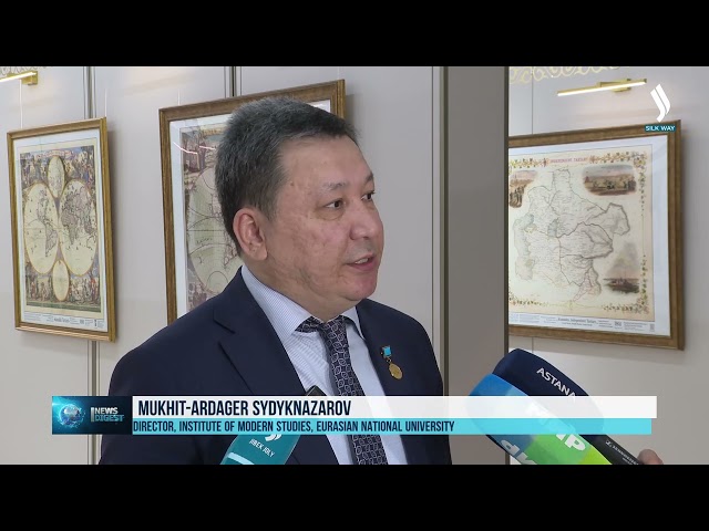
«Over the course of my research, I have discovered more than 10,000 historical maps. I have published two monographs in Brussels, including an atlas featuring around 400 of these maps. Together, they provide compelling evidence of the long history of Kazakh statehood. They also show that the foundations of Kazakh statehood date back to ancient times, as reflected in the Constitution adopted on the initiative of President Kassym-Jomart Tokayev,» said Mukhit-Ardager Sydyknazarov, Director of the Institute of Modern Studies at the Eurasian National University.

Related Articles