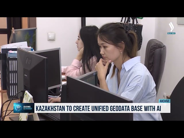
Kazakhstan is implementing a project to digitize geological archives and introduce AI for subsoil analysis. As part of this effort, an interactive resource cadastre is being developed, with databases containing more than 4.5 million maps and reports already uploaded into the system. The platform is designed to identify mineral deposits and cross-reference data with the Unified Subsoil Use Platform. AI is expected to improve the quality of preliminary geological exploration analysis, while final decisions will remain with specialists. In addition, Kazakhstan has developed prototypes of an interactive geological map and a personal account for geologists. The unified system will enable specialists to access and analyze all accumulated data in one place and apply it in practice.
«Over many decades, a large amount of
materials has been accumulated in the country. This includes geological reports,
maps, archival documents, and data stored on various media. The challenge is
that a significant portion of this information existed only in archival form
for a long time and could not be fully utilized for analysis. Therefore,
large-scale digitization efforts are now underway. To date, 97.5% of the
historical geological data has been scanned, representing approximately 4.7
million pages of materials,» noted Kazakh Vice Minister of Industry and Construction
Zhannat Dubirova.
Related Articles