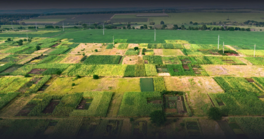
Kazakhstan has launched an interactive map of agricultural land returned to the state. It was developed by the country’s Agriculture Ministry in cooperation with the Ministry of Digital Development, Innovations and Aerospace Industry. The geo-service jerkarta.gharysh.kz contains all the information on unused or illegally allotted land plots that were returned to state ownership. Experts note that this innovation will enable Kazakh residents to contact local authorities to obtain land titles. Thus, the plots that have not been used for years will be distributed, and residents will be able to obtain lands for the development of agriculture. The distribution of returned agricultural land plots will become more transparent.


